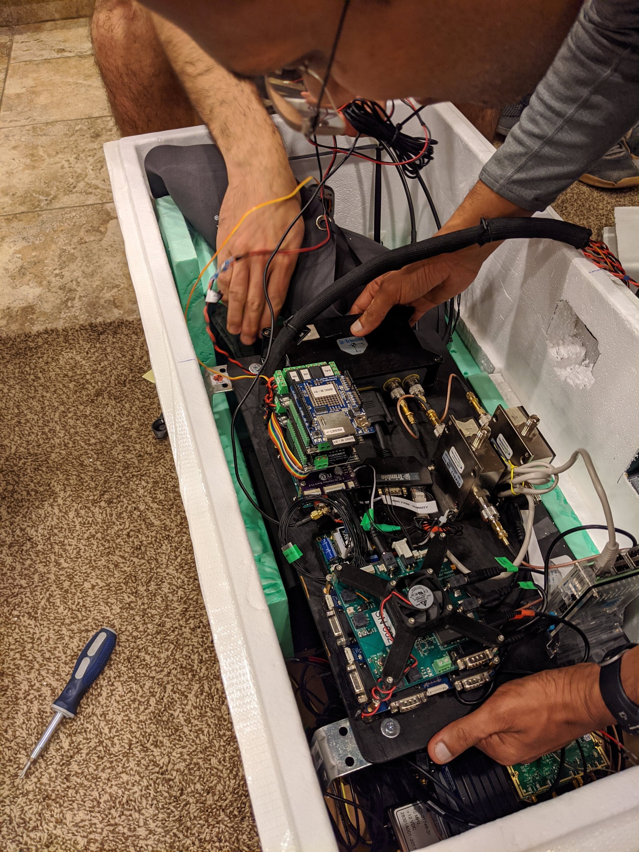
July 2018 to July 2021 – We collaborated with National Oceanic and Atmospheric Administration (NOAA) to design and develop a GNSS-RO weather sensor on a balloon platform. High-level project goals include improving global weather predictions and advancing climate research. We believe our work will improve the forecasting of high-impact weather events such as hurricanes and tropical cyclones.
Background
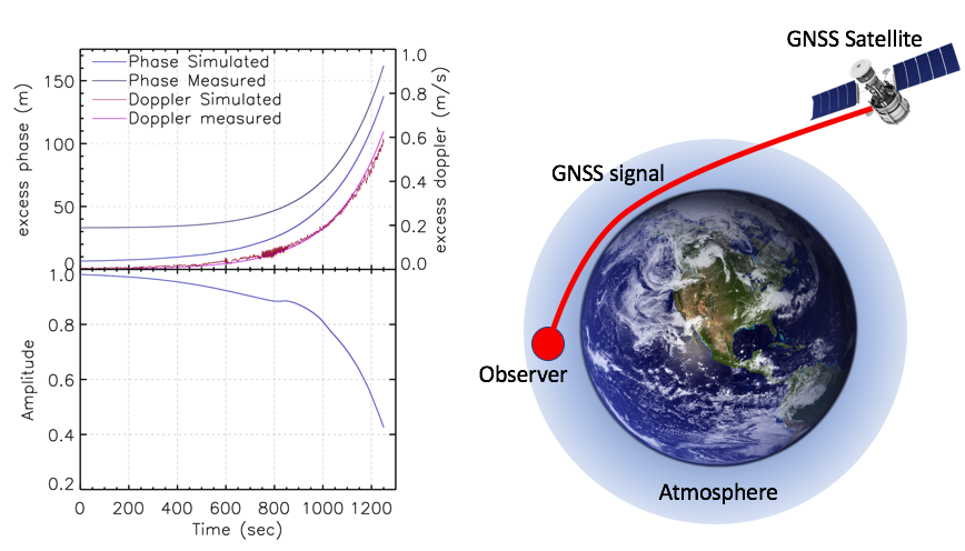
Global Navigation Satellite System Radio Occultation (GNSS-RO) is a remote sensing technique that detects changes in received GNSS radio signals as they pass through the Earth’s atmosphere. A GNSS radio occultation occurs when a GNSS satellite rises or sets across the Earth horizon with respect to a GNSS observer (see figure). The GNSS signal passing through the atmosphere is measurably bent, which provides atmospheric information such as temperature, pressure, humidity, and ionospheric electron count.
The use of GNSS receivers via the radio occultation technique has led to significant advances in weather and climate research by providing high-accuracy vertical resolution of refractivity, temperature, and water vapor information. While there are several operational space satellite missions with GNSS-RO payloads, there continues to be: 1) gaps in spatial data; 2) difficulty in remotely sensing the planetary boundary layer, and 3) limited funds for GNSS-RO missions. Our research aims to tackle these major issues and provide long-term and highly accurate atmospheric thermodynamic information that are complementary to state-of-the-art satellite observations.
Results
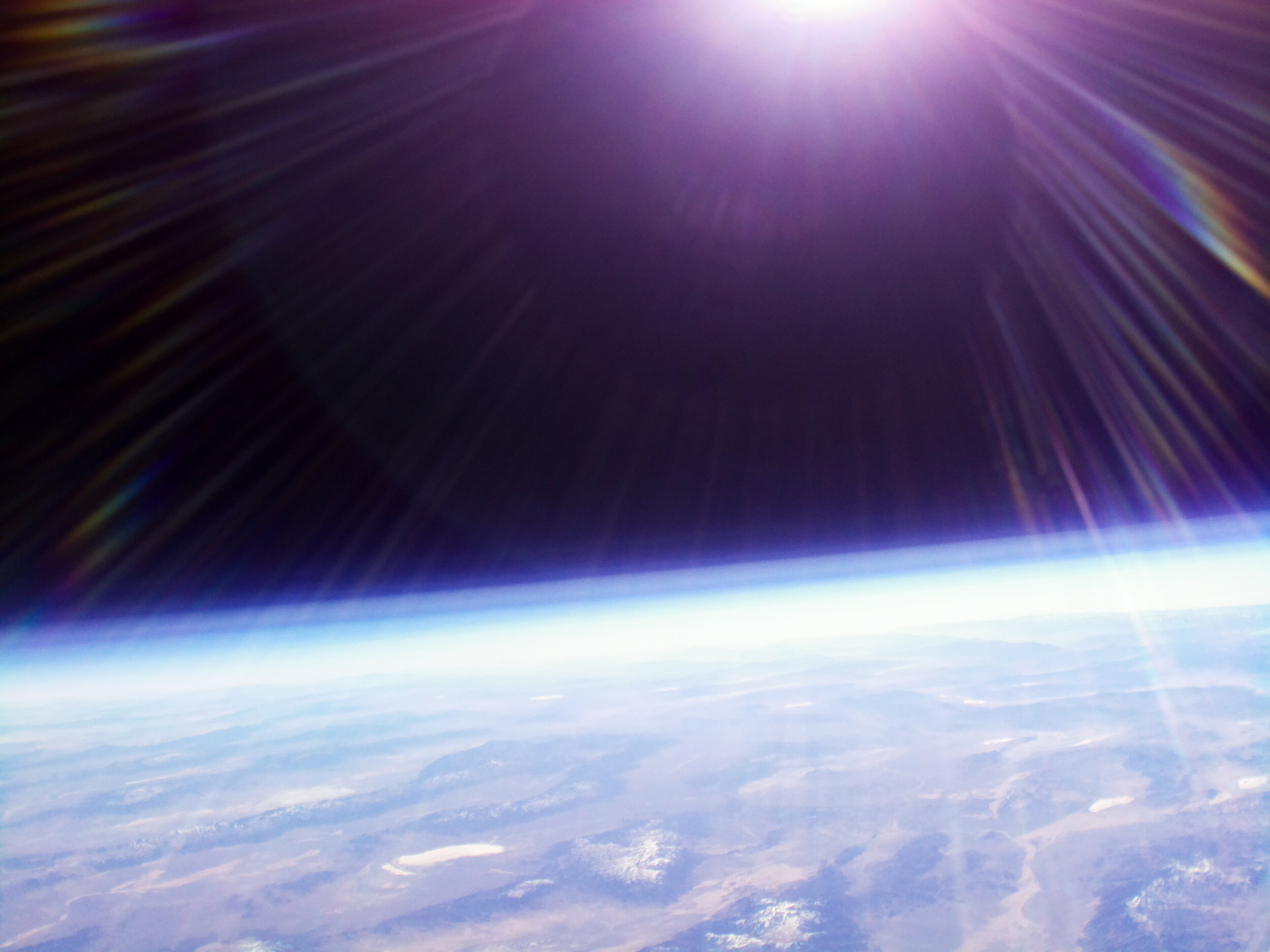
In 2018, NCL successfully conducted two high-altitude balloon flights carrying two GNSS-RO payloads, reaching 33.2 km (109,041 ft) in altitude. The team successfully tracked five major GNSS constellations during these two flight campaigns. Additionally, NCL was able to test mission-critical systems for its long-duration, zero-pressure balloon flight.
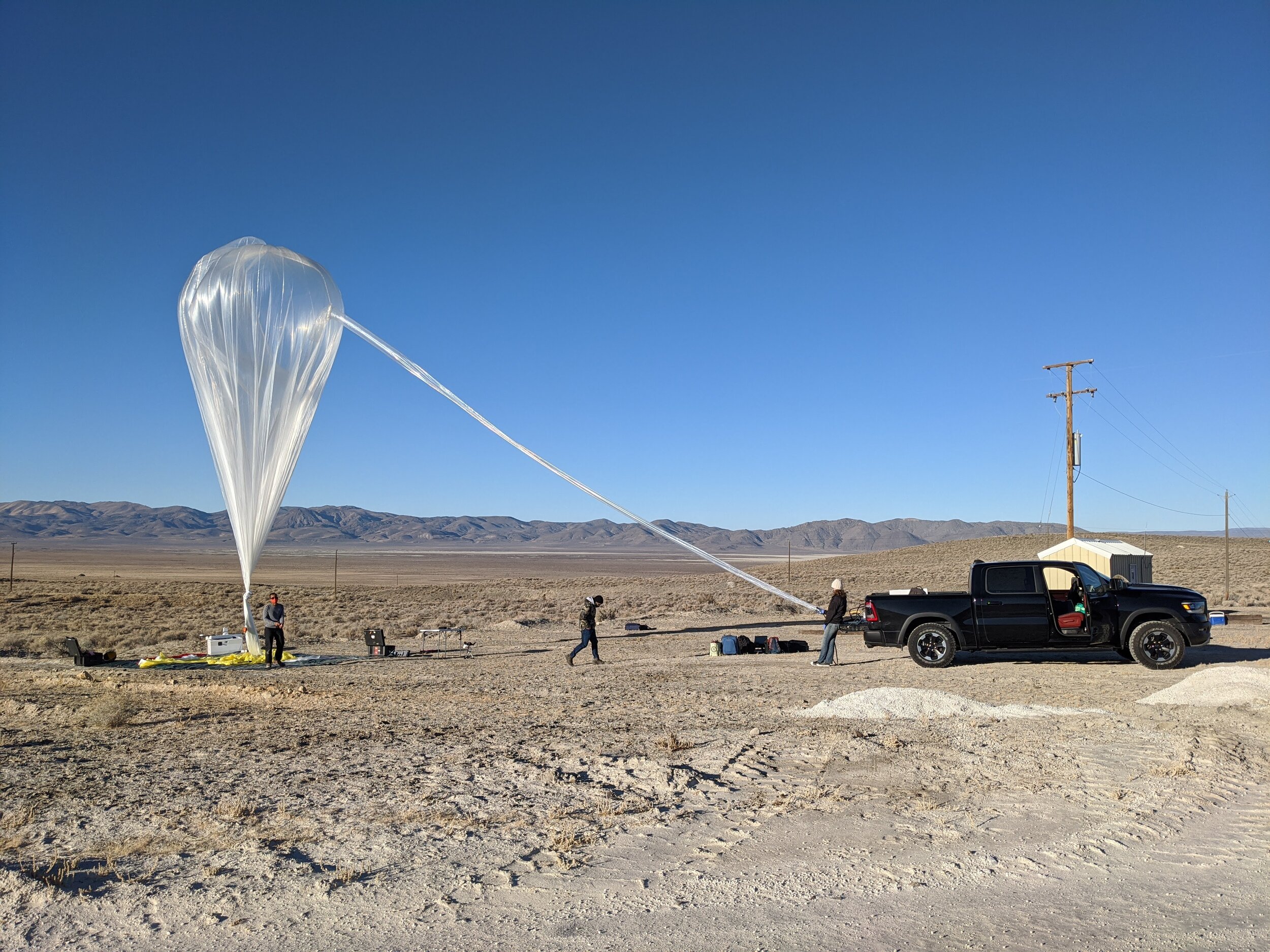
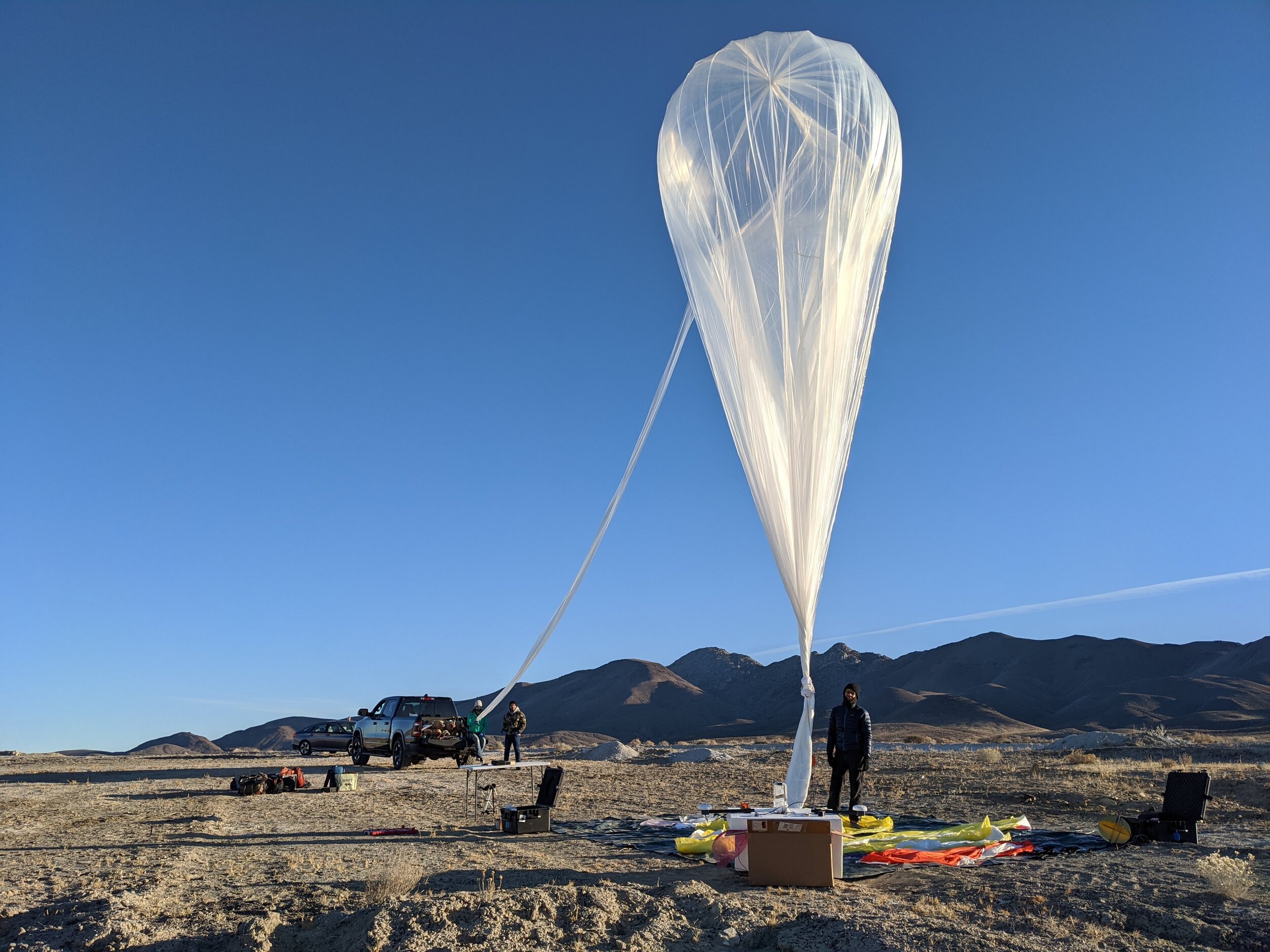
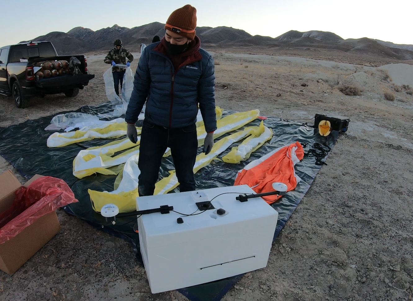
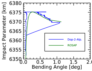
In November 2020, NCL successfully conducted a zero-pressure balloon flight, flying a 28 kg (63 lb) GNSS-RO payload over Nevada and Utah for 12 hours. You can view a video of the mission here. The GNSS-RO data collected during this flight were processed and produced bending angle and refractivity retrievals.
These data were post-processed into excess phase delays, and input into Texas A&M Corpus Christi software to retrieve bending angle and refractivity data, down to 1 km from the surface. These results agreed very well with simulated profiles (within 5%), providing validation of NCL’s experiments.
Bryan Chan presented preliminary results at American Geophysical Union (AGU 2018) and American Meteorological Society (AMS 2019, AMS 2021) conferences.
Bryan presented final results at ION GNSS+ 2021, where he was awarded Best Presentation of the session! He also presented NCL’s work at a NOAA Innovator’s webinar which you can view HERE.

